
The Sommaire is a small river flowing in the direction of the Risle. Its name, of Gallic origin, would mean "summer" (samo) or "calm" (sämo). This is a definition that perfectly qualifies the ride I'm going to tell you about! This is a 10 km hike that follows, in part, the Summary.
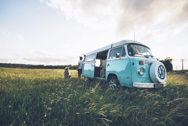
Between hamlets and fields, stud farms and farms, this route that I traveled under the May sun, is a real encounter with nature.
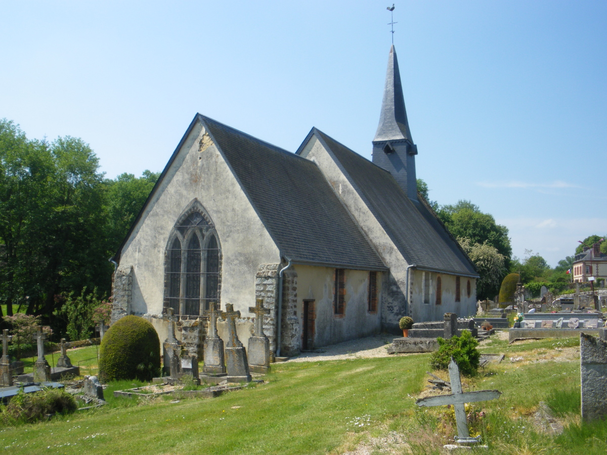
The village of Saint-Antonin-de-Sommaire has less than 200 inhabitants. No wonder then that when I left Town Hall I didn't meet any living soul that morning. From the first few meters, I get to know the Sommaire which runs alongside the church. My husband and I go from one bank to the other before taking a narrow path that goes up to the plateau.
This first part starts off strong! As soon as they come out of a small wood, we walk between meadows and pastures with horses. The panorama is pretty. On the one hand, Marguerite and her friends of the Norman race give us sweet eyes. On the other hand, two young stallions gallop to meet us.
For several kilometers, the neighs respond to the bellowing on a background of birdsong. We are alone with nature. Not a motor disturbs this sweet music.


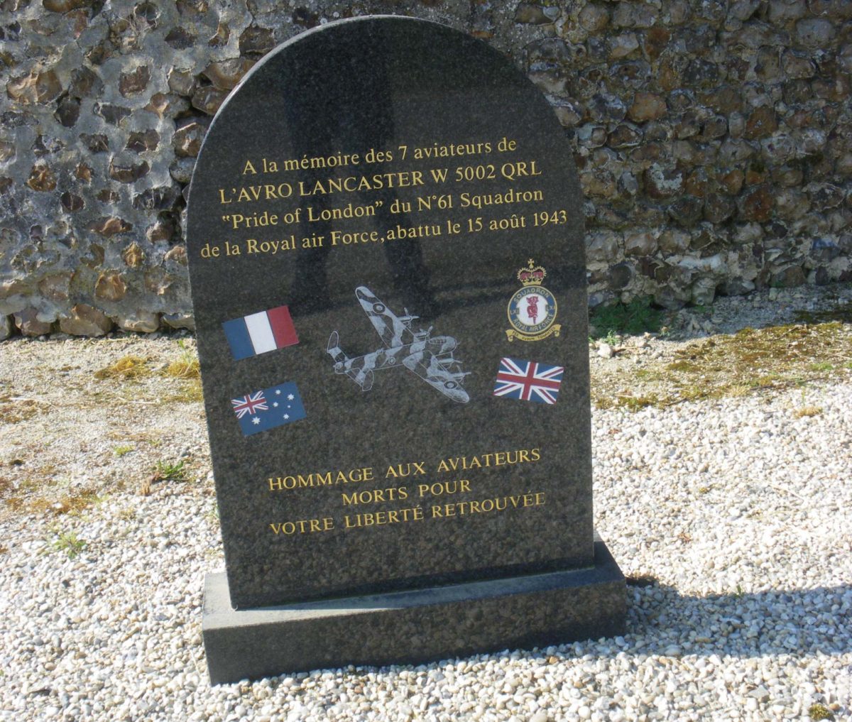
A little further, when we approach the first dwellings of Saptel, we find a commemorative monument. In August 1943, a plane crashed not far from here. Having left Syerston in England, the military apparatus was tasked with bombing Milan, Italy. With the exception of the pilot, the 6 crew members lost their lives. The story of the crash, the names and faces of the 6 victims are inscribed on a sign.
We continue on a succession of straight lines through fields and on the edge of the forest.
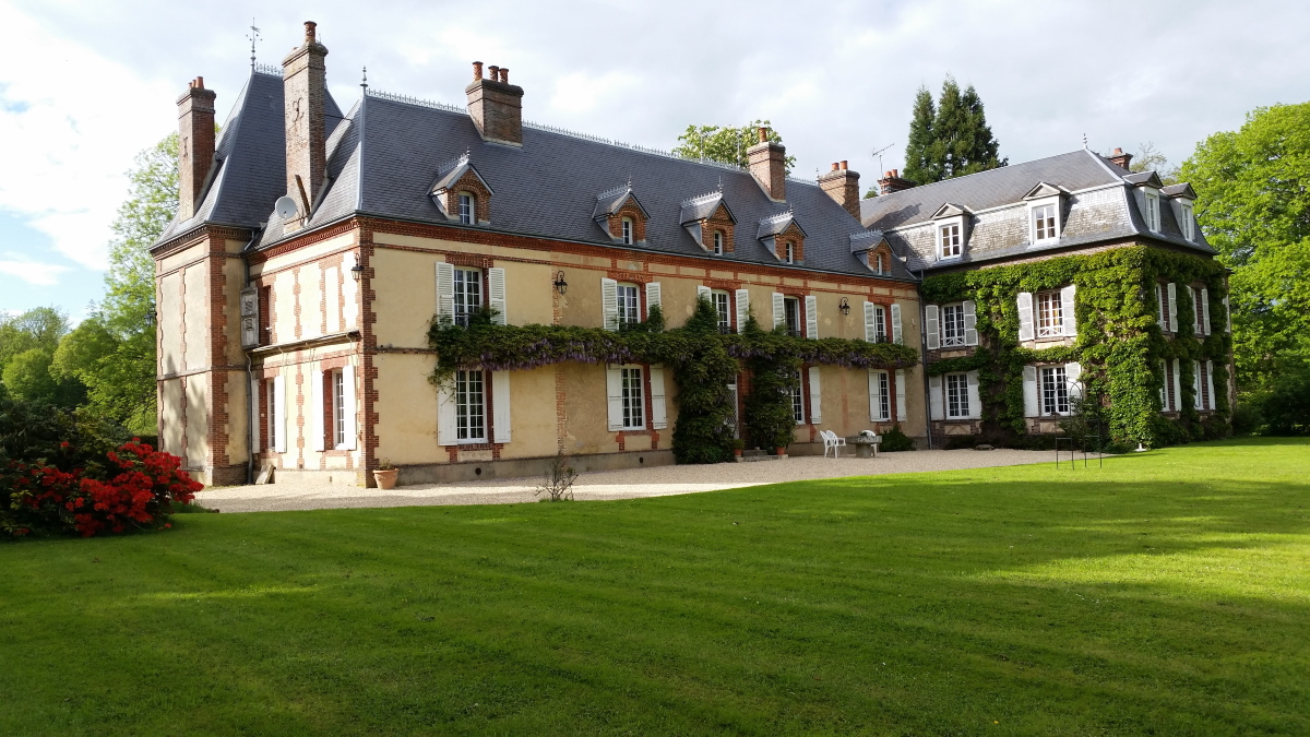
Before reaching the hamlet of Aulnaies, the path takes us on a detour to approach the Domaine de la Noé Vicar. Nestled in lush greenery, the property comprises a group of buildings, the oldest of which is a castle dating from 1630. Le Verger is a former outbuilding dating from 1721, which is located a few steps from the castle and was completely renovated in 2008 respecting the style and original materials.
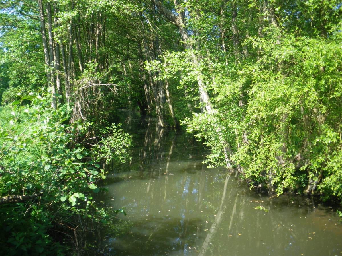
We now take the Avre and Iton GRP for a few kilometers. This circuit on the borders of the Duchy of Normandy offers a 106 km loop through the Avre and Iton valleys. Through the woods we find the Summary in its wildest appearance. The ruins of a mill remind us that the ru must have been larger in earlier times. Here it is possible to cross it on foot. We prefer to take the makeshift bridge in the dry.


We leave the GR de Pays for the hamlet of la Crespinière. A few yards of tar. Just what it takes to see beautiful homes, their beautifully landscaped gardens and the weather vanes that some proudly wear on their roofs.
Further on we take a brief look at the Vannetière water tower. A common hydraulic structure except that it is the highest point in the Eure department.
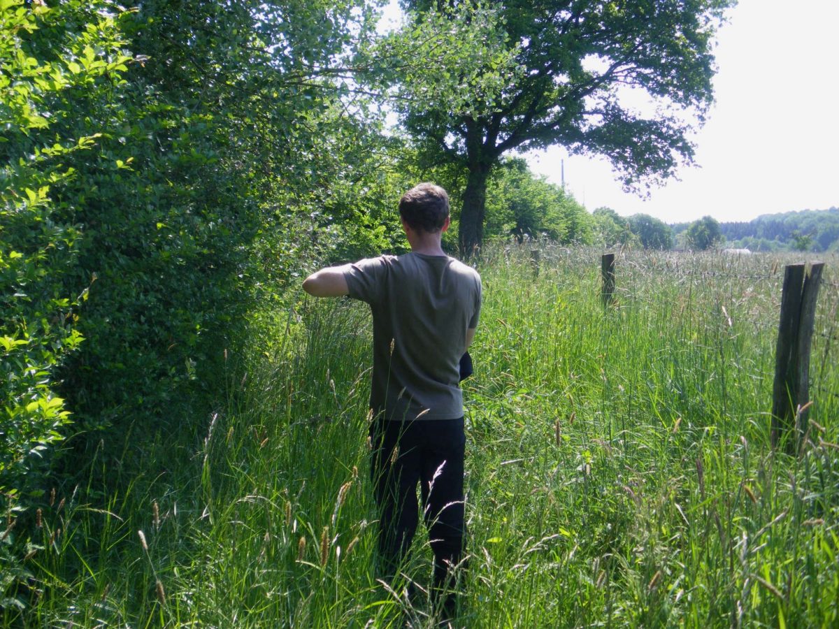
We embark on a new path where the tall grass forces us to lift our feet and arms. A small virgin forest over 200 meters. Nothing insurmountable! We had been warned that the mowing was in progress and we had prepared for some difficulties.
We now descend into the valley towards Guiloriche. And we find the Summary which will never leave us until our return to the starting point.
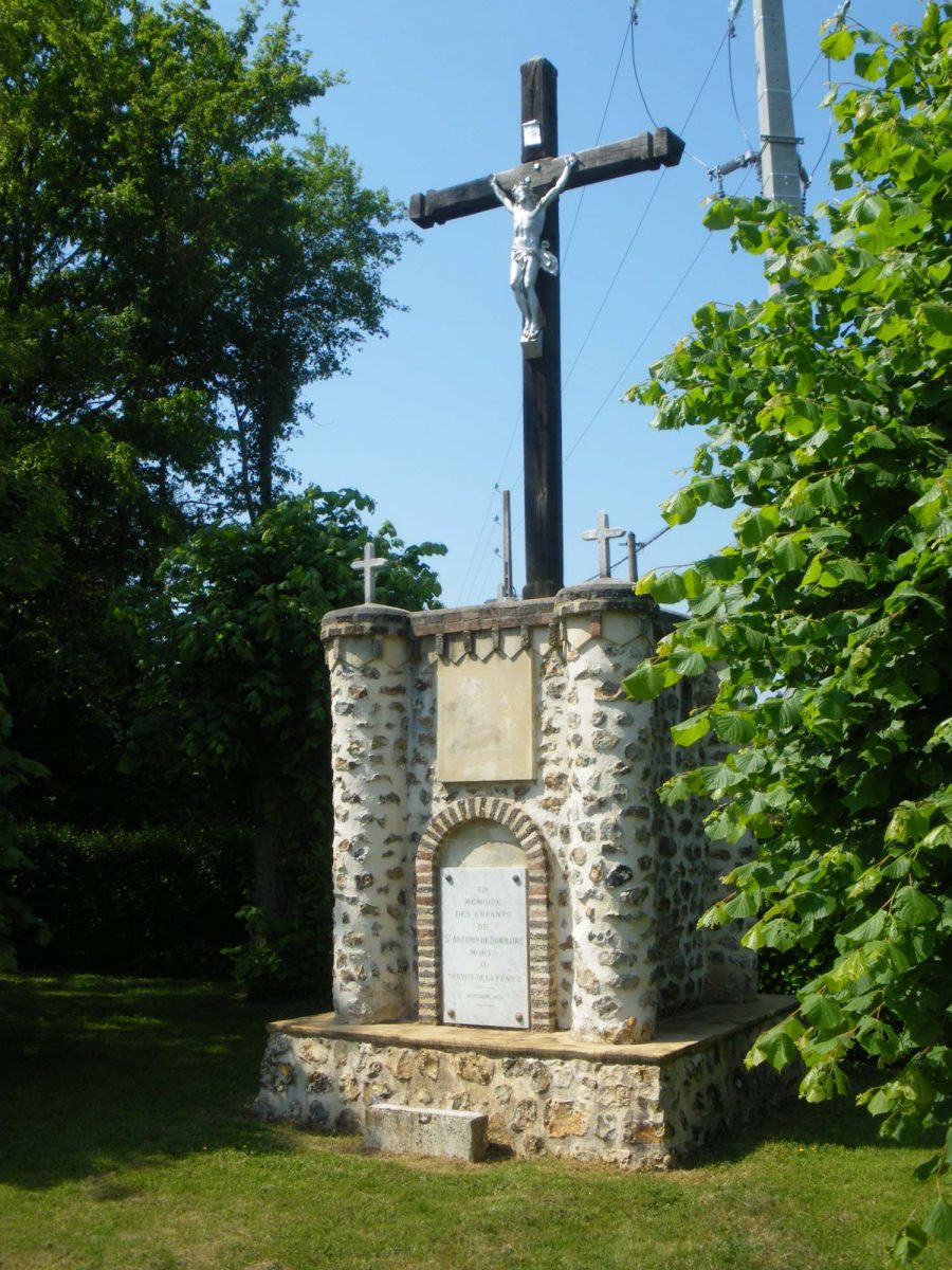
The last surprise that awaits us after 2 hours of walking is the ordeal of la Bonde. An impressive monument built on a brick plinth and adorned with turrets.
This 2 hour walk is an ode to nature: sometimes shaped by agricultural activities, sometimes nourished by the flow of the Sommaire, a green countryside where absolute calm reigns.