
Distance: 9,6 km
Duration (average) : 2:30
Elevation: 36 m D +
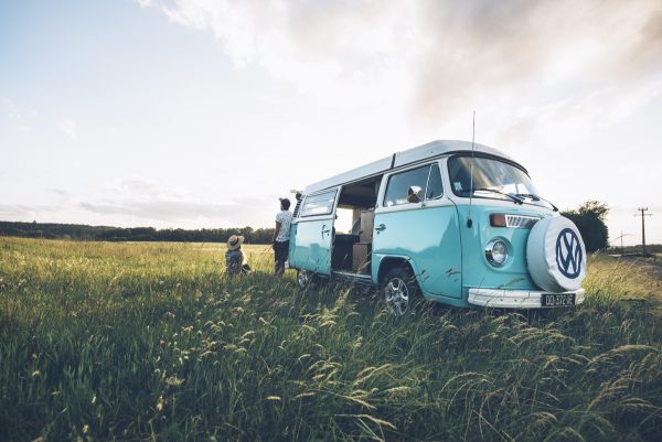
Departure: Breteuil (Place Pillon de Buhorel)
boucle
yellow
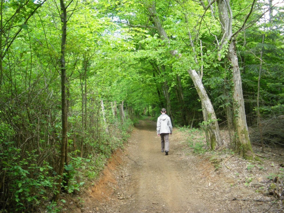
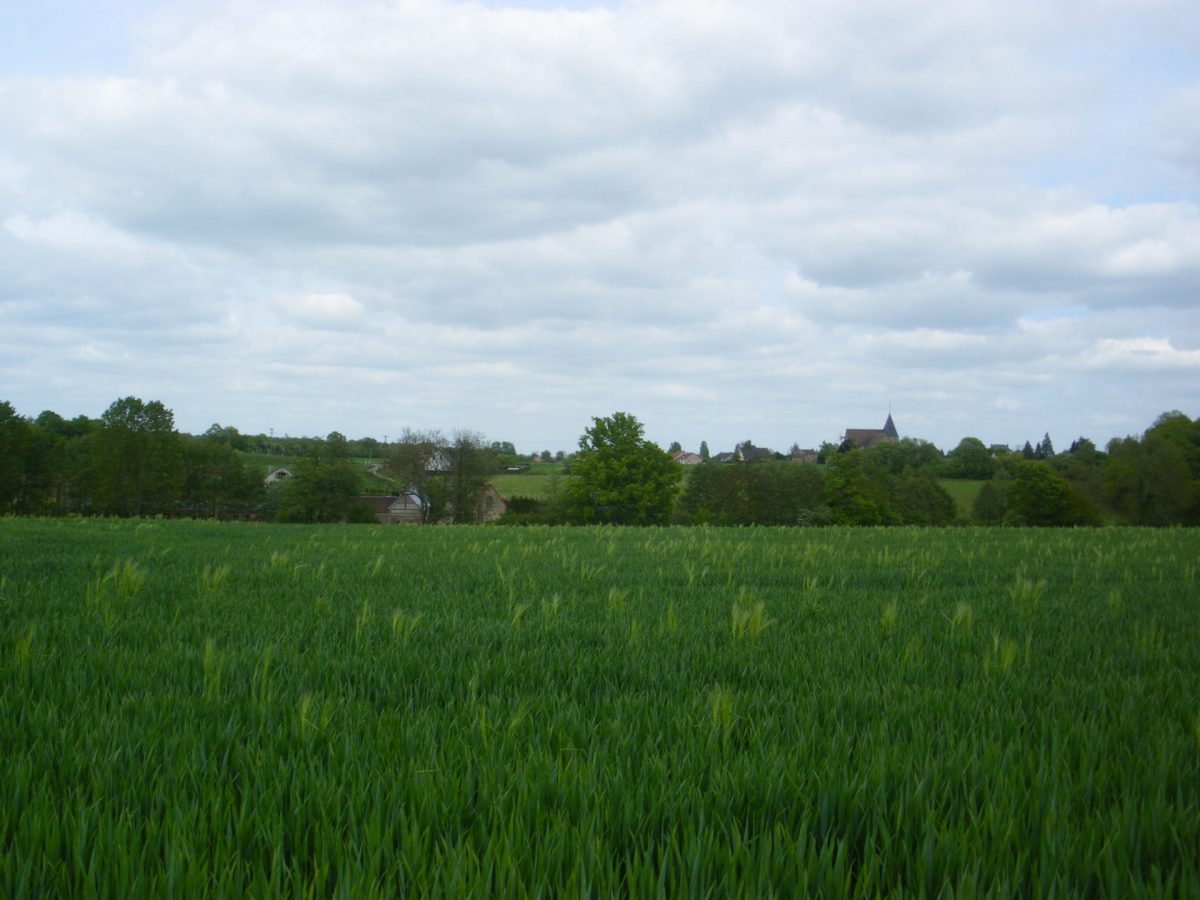
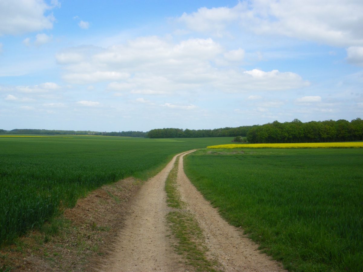
This circuit follows the GR222 and the GR de Pays through the plains and woods of Breteuil. It takes part of the old Roman road which led from Breteuil to Condé-sur-Iton (Condate).
Your itinerary
Breteuil (Place Pillon de Buhorel)
1
Step 1
In front of the sign, go to the left. Take the rue d'Argentan. Turn left in the rue du Trou à la Mouse. Bear right onto rue du Fourneau. At the crossroads near the campsite, go straight ahead in rue Sainte Anne. Take the second path on the right continuing into the plain. At the end of the path, turn left and join the road that you follow to the right until the roundabout. Take the roundabout to the left. Pass the 1st road and take the second to the gas distribution enclosure.
2
Step 2
There, take the path on the left. At the first crossroads, go straight on. After a curve to the right, then a bend to the left, the path enters the wood.
3
Step 3
Before the next bend, leave the main path for a path bordering the woods. It turns at a right angle to the right to come to a road. Cross the road by a small setback on the right, and continue on the path to the left on the edge of the woods then in the plain. Take the transverse path on the left.
4
Step 4
At the crossroads, continue opposite. Do not pass under the bridge, but turn to the left in the path which runs along the old railway line which you cross further on and which you always follow in the same direction. Arrived at the deviation, go down to the right and cross the river. Pass under the road through the small tunnel, and take the path opposite which winds along the river and bypasses a property. At the entrance gate of the property, continue on the road to the pond. Turn right into rue du moulin. At the church, turn left and follow rue Ariside Briand. At the end of the street, cross Place Laffitte, pass in front of the town hall.


