
Distance: 10 km
Duration (average) : 2:30
Elevation: 63 m D +
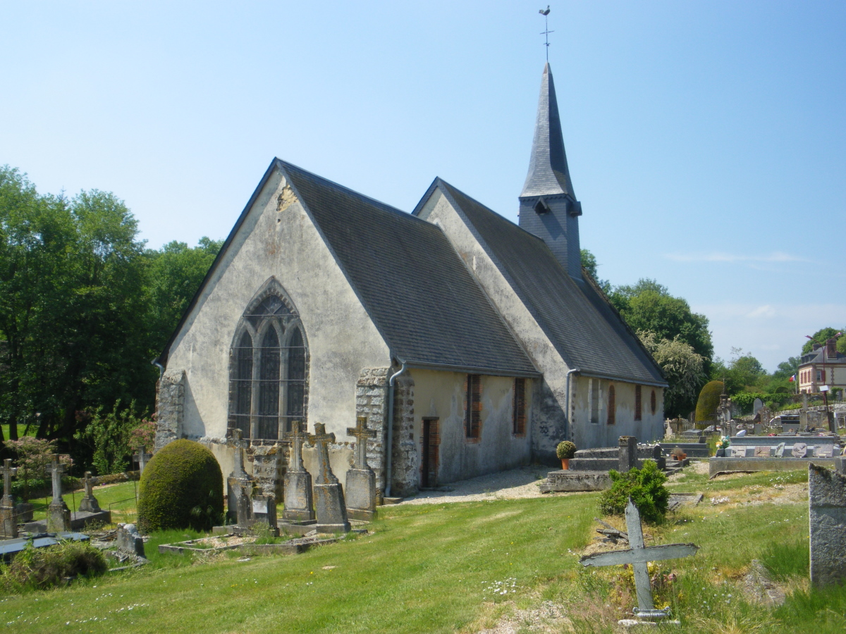
Departure: Saint-Antonin-de-Sommaire (2 place de la Mairie)
boucle
yellow
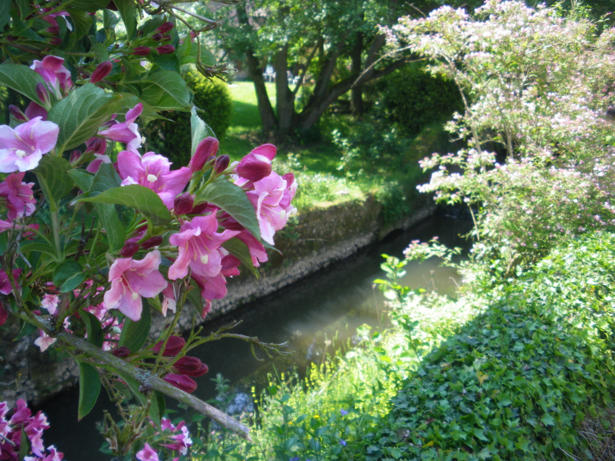
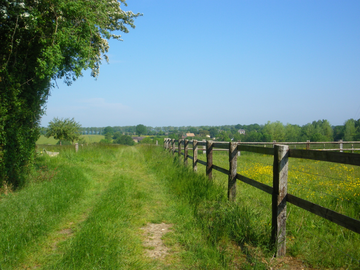
This circuit will make you discover the Val du Sommaire with its varied landscapes. The Sommaire is a stream, a tributary of the Risle, which despite its low flow led to two mills, one used for grinding grain and the other for using nails. Near the water tower, you will pass through the highest point of the Eure department, 245 m.
Your itinerary
Saint-Antonin-de-Sommaire (2 Town Hall Square)
1
Step 1
In front of the town hall, go to the left. Go through the Summary. Take the uphill path on the left. It joins a path on the plateau. Go to the right and walk between meadows and horse pastures. Pass the Haras du Saptel. At the farm, go to the left. At the plaque commemorating the fall of the Lancaster bomber shot down in August 1943, turn right onto the road towards Messey.
2
Step 2
Take the first path on the right, turn left and continue until you reach the road. Take the road to the right. At the crossroads, take the path on the right and follow it up to the road. Turn left, pass in front of the Noë Vicaire castle and continue. At the crossroads, take the D292 to the right.
3
Step 3
At the entrance to Les Aulnaies, enter the hamlet to the right. After the houses, continue on the path. It enters the woods, winds its way to Sommaire, which you cross on a small bridge near the ruins of a mill. At the road, turn right, cross the hamlet of la Crespinière. Continue opposite to pass in front of the water tower. It is the highest point in the Eure department.
4
Step 4
After the water tower, at La Vannetière, take the path on the right. He goes down to Guiloriche. On the road, take the road opposite and cross the Sommaire again. Just after the stream, take the path on the left. He joined the Calvary of La Bonde. Take the road on the left and reach the starting point.